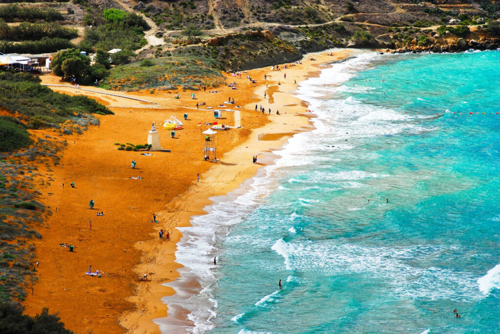
Ramla Bay
Gozo's best-known sandy beach: a wide bay of red-gold sand below green slopes.
Approx. 10–15 minMap for Ramla Bay (opens Google Maps)↗

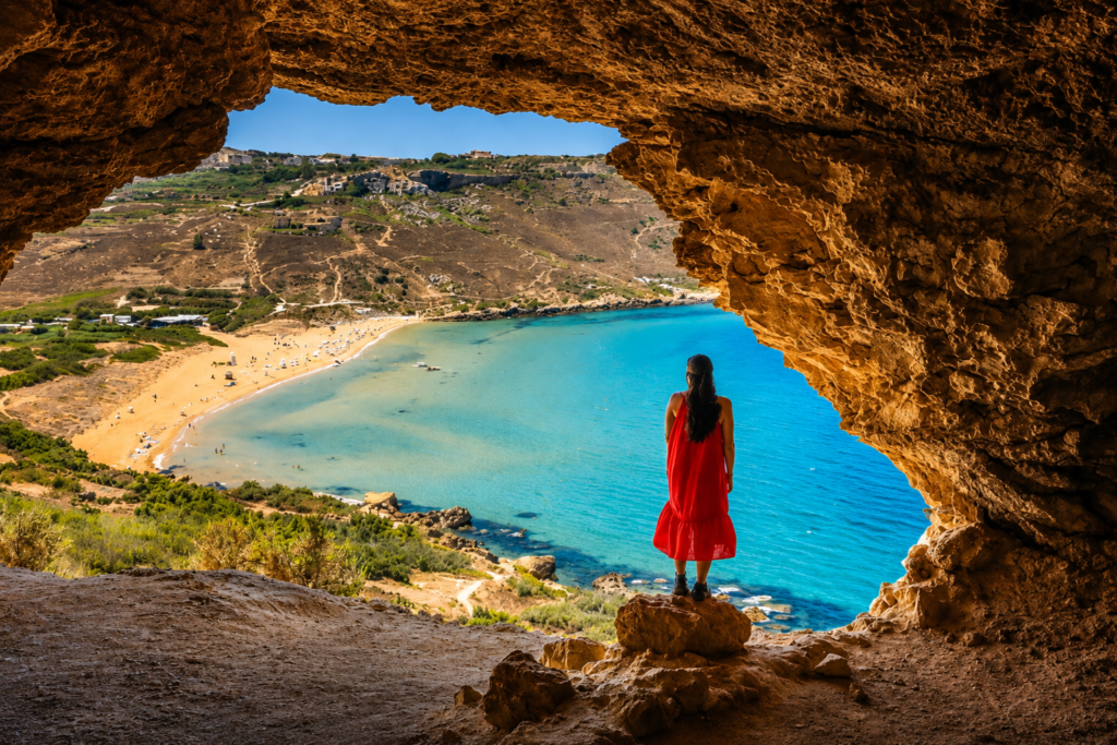
Beaches, ancient sights, coastal walks and village festas, with the practical details that make an island holiday easy. Written from Għajnsielem, where the ferry lands.
Gozo is small enough to see a lot, and varied enough to choose your kind of day. Drive times from Cloud 9 are approximate and vary with traffic and parking.
Windy where you are? Check another coast before giving up on the beach. Gozo is compact enough for conditions to be completely different on the opposite side.
Don't overfill your day. Distances look tiny on a map, but village roads, parking and meals all take time.
October to May is walking season. In summer, start early, carry water and avoid exposed clifftops in the heat of the day.
Gozitan food is best kept simple: ftira, ġbejniet, qassatat and fresh fish. Opening days change with the season, so check before you go, and book in summer.
With younger children, sandy Ramla Bay (under Beaches) is easier than rocky coves. Pack water shoes and check the sea before swimming.
Book with some flexibility. Several local operators offer each of these. Good ones move sea- and wind-dependent activities when conditions aren't right.
Sunset faces west, so these are all on the western half of the island. Check today's sunset time under Today in Gozo and arrive 30 minutes early.
Gozo's best-known sandy beach: a wide bay of red-gold sand below green slopes.
Approx. 10–15 minMap for Ramla Bay (opens Google Maps)↗
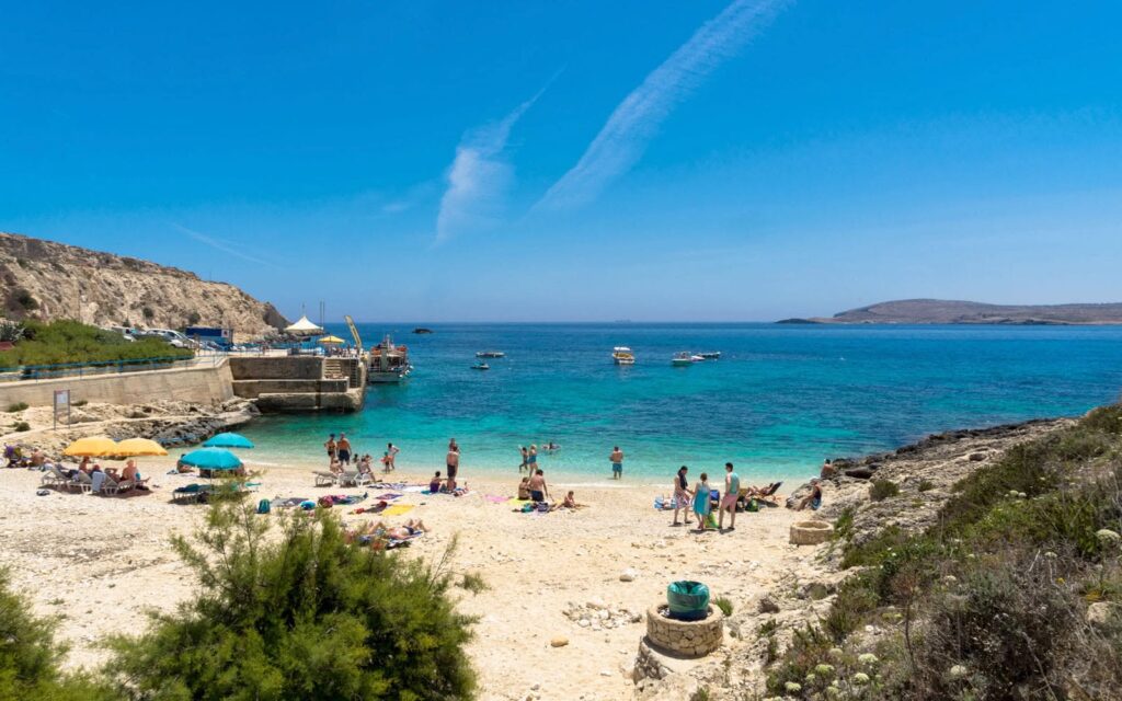
A small bay near Qala with clear water and views across to Comino. One of the closest swims to Cloud 9.
Approx. 10 minMap for Ħondoq ir-Rummien (opens Google Maps)↗
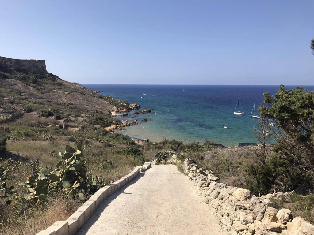
A small red-sand cove below Nadur's terraced valley. The lane down is very steep, so allow time for the walk back up.
Approx. 10 min, then a walkMap for San Blas Bay (opens Google Maps)↗
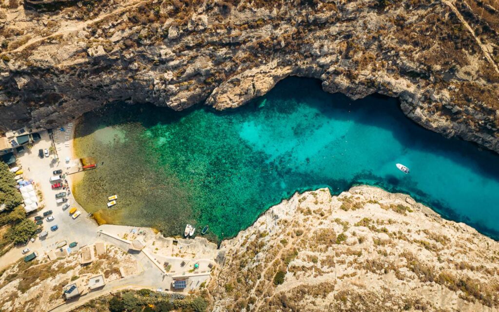
A narrow, dramatic inlet that feels completely different from Gozo's open beaches.
Approx. 15 minMap for Mġarr ix-Xini (opens Google Maps)↗
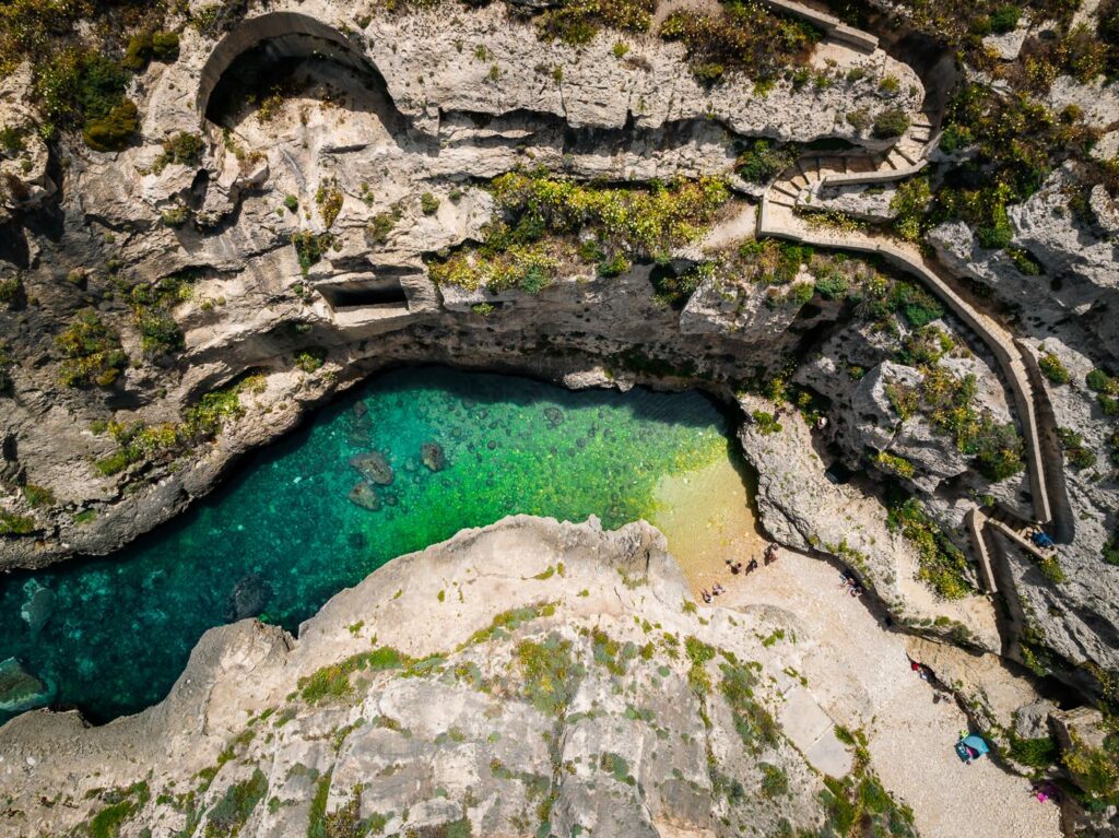
A slender sea inlet reached through a valley and steps cut into the cliff. Best on calm days.
Approx. 20–25 minMap for Wied il-Għasri (opens Google Maps)↗
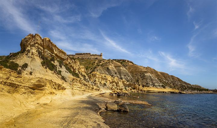
A quiet rocky shore and old salt pans below Għajnsielem, for a short swim without a long drive.
Approx. 5–10 minMap for Xatt l-Aħmar (opens Google Maps)↗
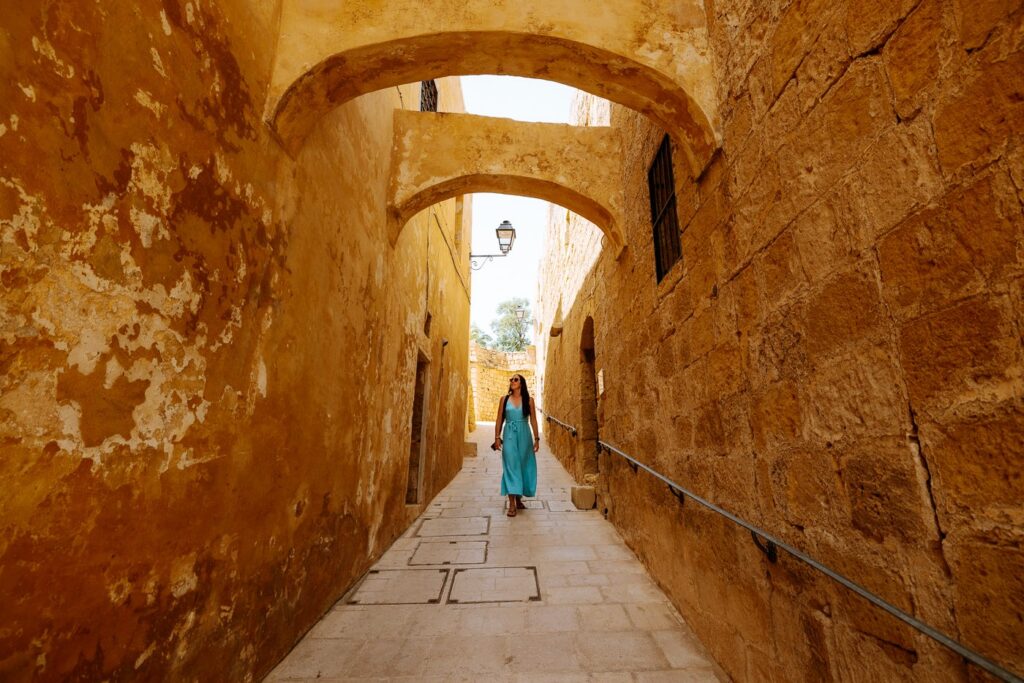
Gozo's fortified heart above Victoria, with museums, narrow lanes and views across the island.
Approx. 15 minMap for The Cittadella (opens Google Maps)↗
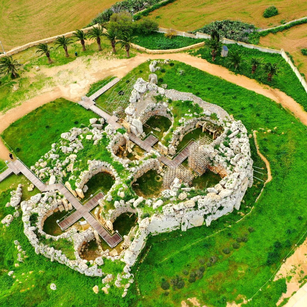
Monumental prehistoric temples, among the oldest free-standing stone structures in the world.
Approx. 10–15 minMap for Ġgantija Temples (opens Google Maps)↗
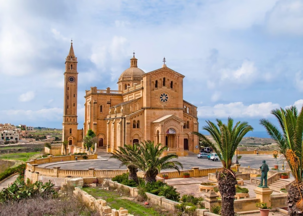
A landmark basilica standing alone in open Gozitan countryside near Għarb.
Approx. 20 minMap for Ta' Pinu Basilica (opens Google Maps)↗
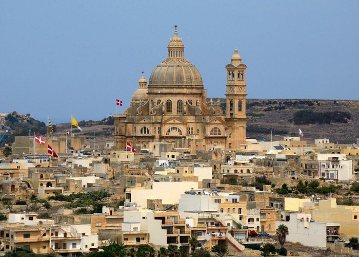
The church of St John the Baptist, whose vast dome dominates the skyline of central Gozo.
Approx. 10 minMap for Xewkija Rotunda (opens Google Maps)↗
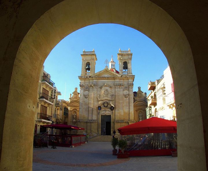
Known as the Marble Basilica, in the maze of old lanes below the Cittadella. Its wooden statue of St George dates from 1838.
Approx. 15 minMap for St George's Basilica (opens Google Maps)↗
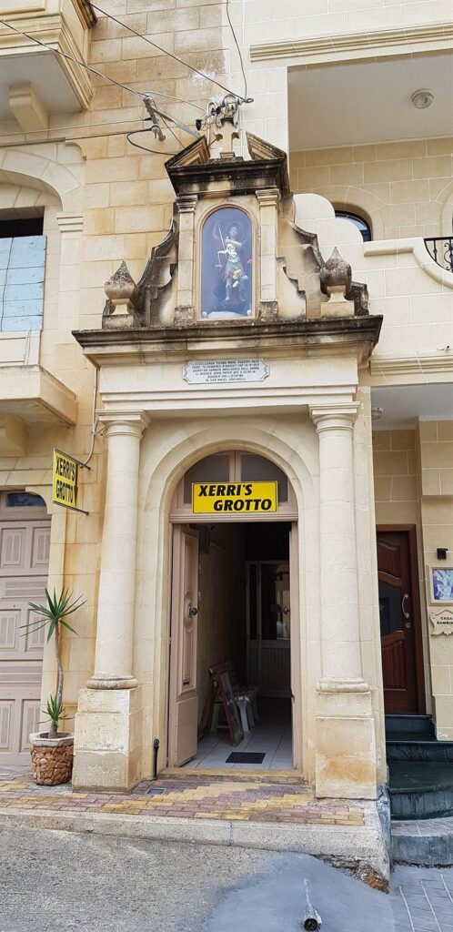
A cave of stalactites beneath a family home, shown by the family who live above it. Small, quirky and memorable; check it is open before you go.
Approx. 10–15 minMap for Xerri's Grotto (opens Google Maps)↗
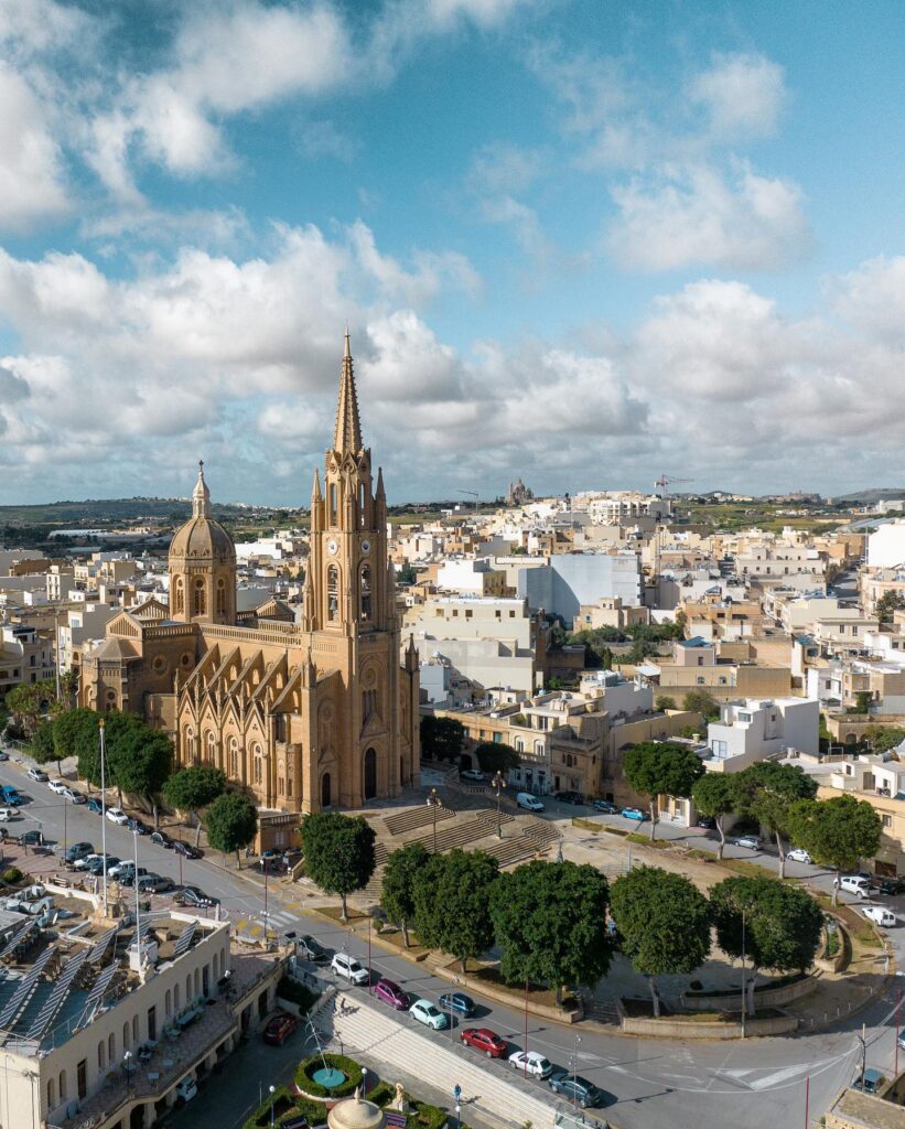
The village's landmark church on the main square, a short walk from the house.
Short walkMap for Għajnsielem Parish Church (opens Google Maps)↗
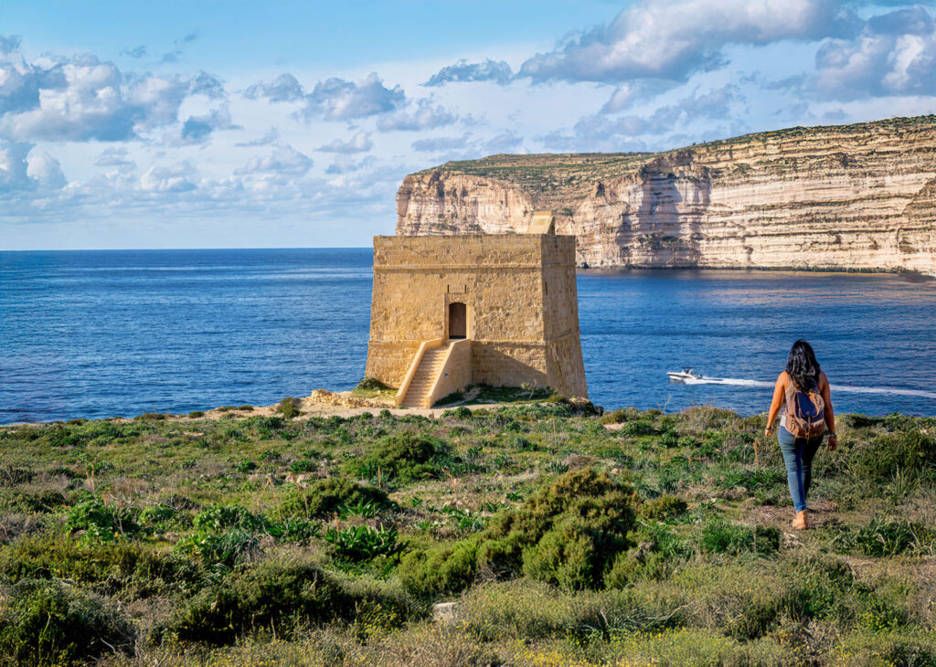
Starts near Cloud 9 and follows the south coast past watchtowers, valleys and clifftops to Xlendi. Partly exposed; take water.
Starts at Mġarr HarbourMap for Mġarr to Xlendi coastal walk (opens Google Maps)↗
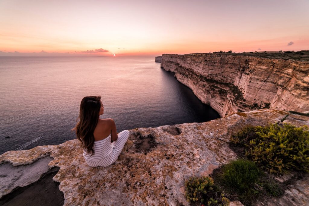
Some of Gozo's highest cliffs, with a level clifftop path and huge sea views. Lovely in the late afternoon.
Walk from SannatMap for Ta' Ċenċ cliffs (opens Google Maps)↗
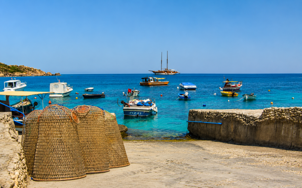
A quiet fishing cove below Nadur, with boathouses cut into the rock and clear water for a swim at the end of the walk.
Approx. 10 minMap for Daħlet Qorrot (opens Google Maps)↗
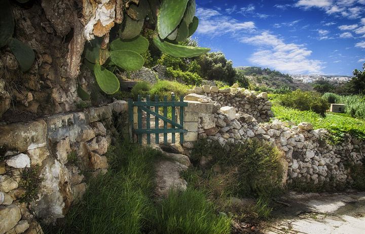
A spring-fed valley below Kerċem, unusually green for Gozo and at its best in winter and spring.
Approx. 15 minMap for Lunzjata Valley (opens Google Maps)↗
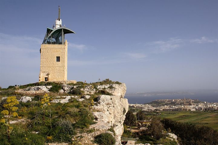
A 19th-century signal tower on the Nadur ridge, with a small garden and wide views to Comino and Malta.
Approx. 5–10 minMap for Ta' Kenuna Tower (opens Google Maps)↗
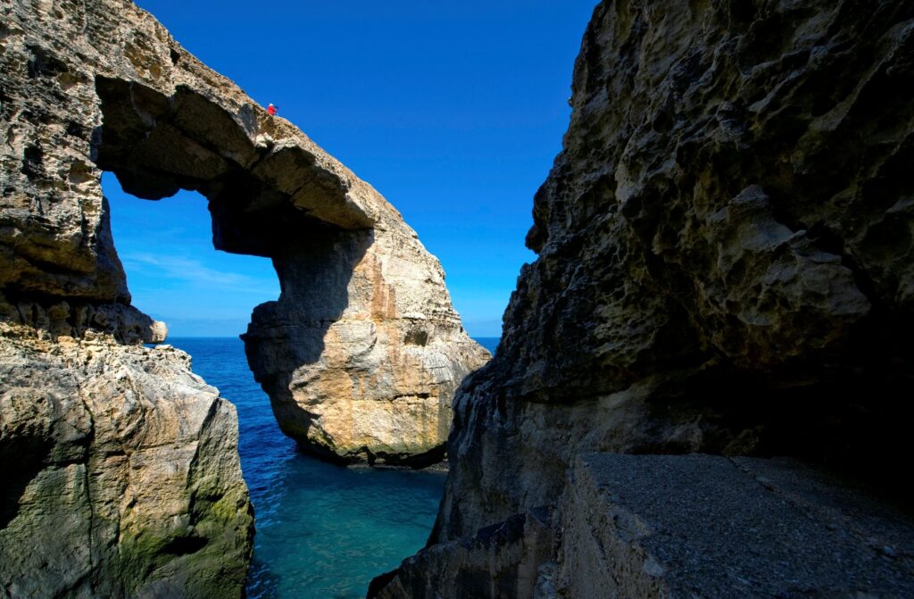
A natural arch at the end of a quiet valley near Għarb, reached by steps down the gorge, with the open sea beyond.
Approx. 20–25 minMap for Wied il-Mielaħ Window (opens Google Maps)↗
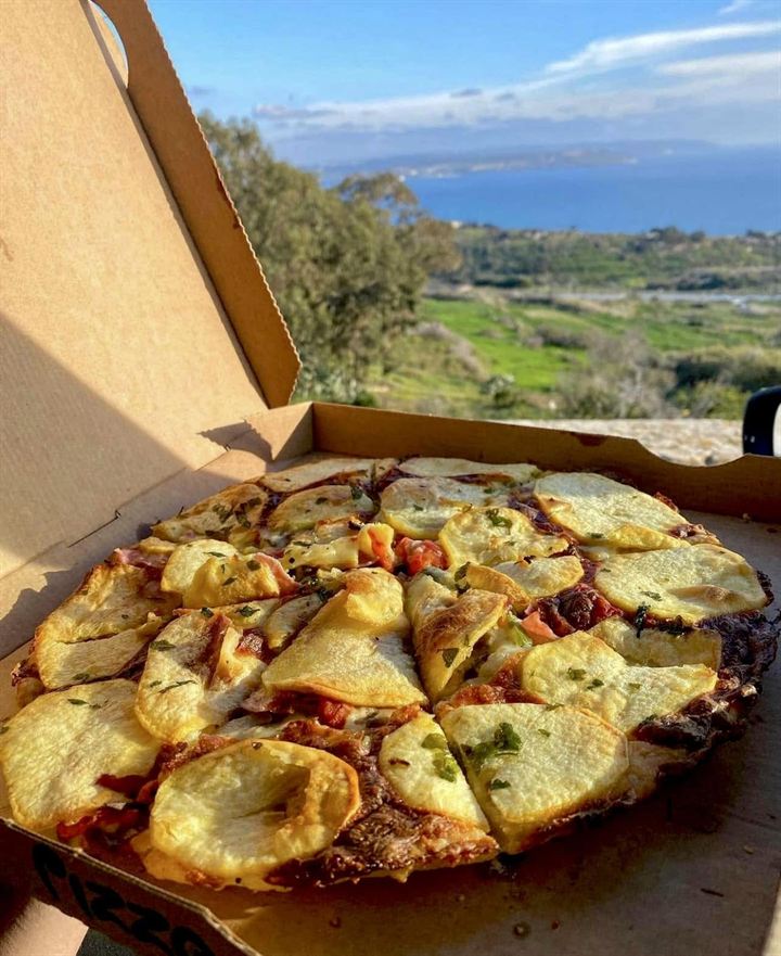
Nadur's family bakery, famous for ftira: Gozo's thin, pizza-like bake, often topped with potato. Expect a queue. Mekren's, nearby, is a wood-fired alternative.
Approx. 10 minMap for Maxokk Bakery (opens Google Maps)↗
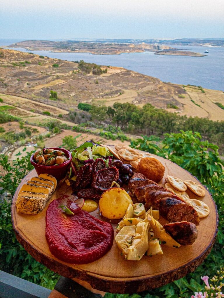
Mediterranean food on terraces looking across the Gozo Channel to Comino and Malta, with the ferries coming and going below.
Approx. 5 minMap for Xerri il-Bukkett (opens Google Maps)↗
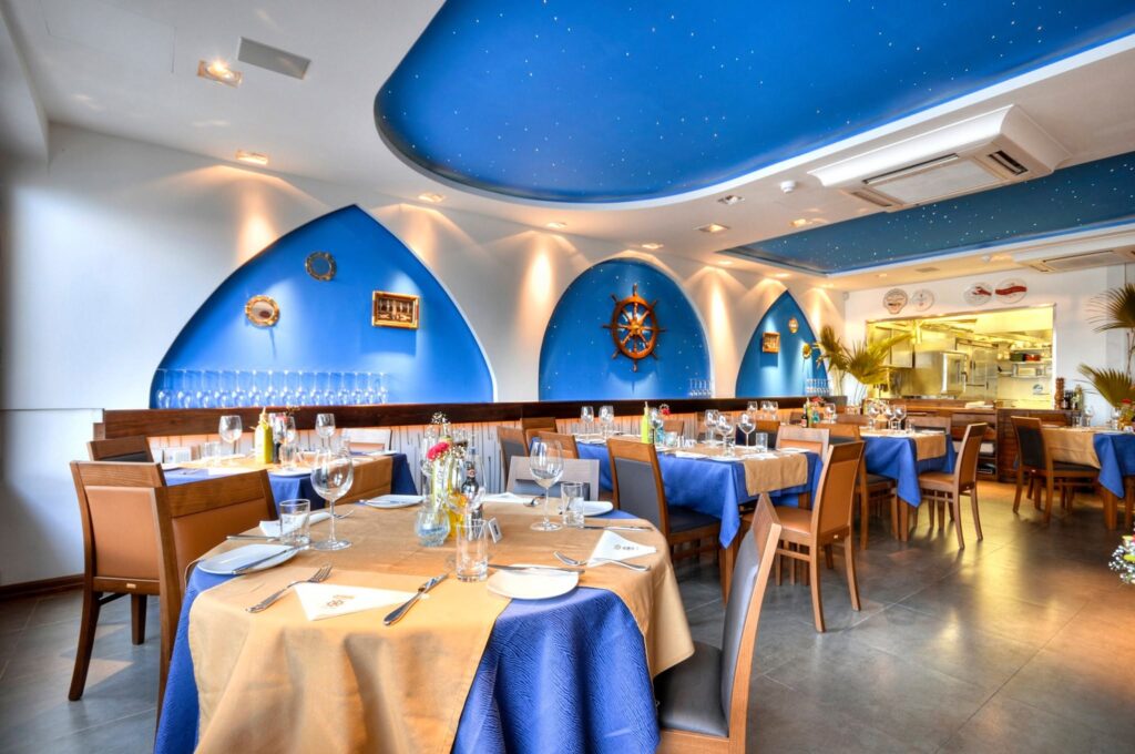
Seafood-focused cooking on the harbour, listed in the Michelin Guide. The closest special-occasion dinner to Cloud 9.
Approx. 5 minMap for Tmun (opens Google Maps)↗
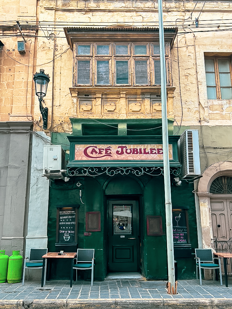
A long-standing café on it-Tokk, Victoria's main square. Good for a coffee and a pastry while the square goes about its day.
Approx. 15 minMap for Café Jubilee (opens Google Maps)↗
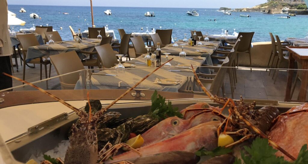
A family-run restaurant on the Marsalforn waterfront since the early 1970s, best known for fresh fish and seafood.
Approx. 15 minMap for Il-Kartell (opens Google Maps)↗
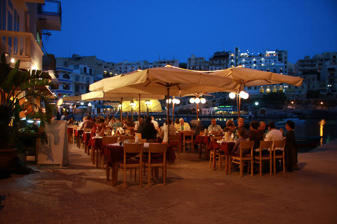
In a quiet corner of Xlendi Bay, with tables just above the water and a focus on fresh fish. Worth booking in summer.
Approx. 15–20 minMap for Ta' Karolina (opens Google Maps)↗
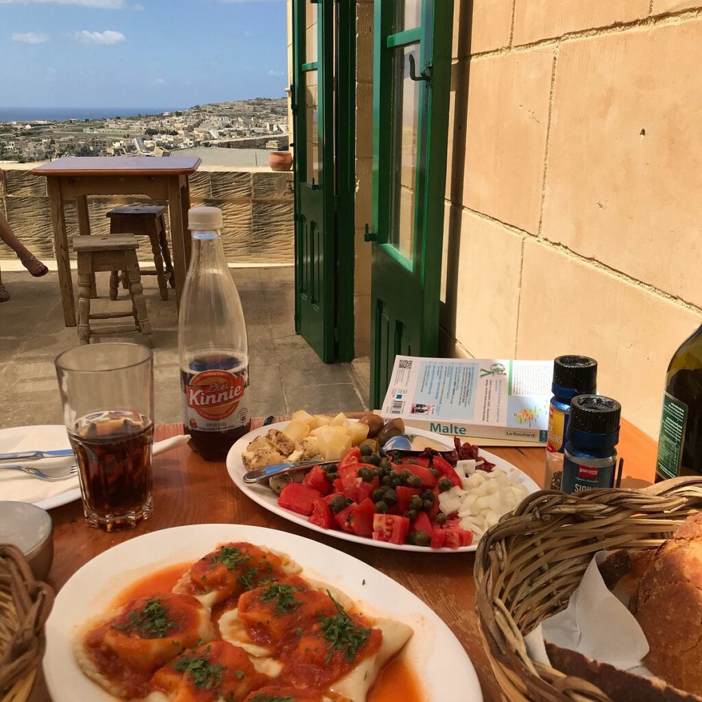
A rustic restaurant inside the Cittadella serving its own ġbejniet and wine, with Gozitan platters and ravioli.
Approx. 15 minMap for Ta' Rikardu (opens Google Maps)↗
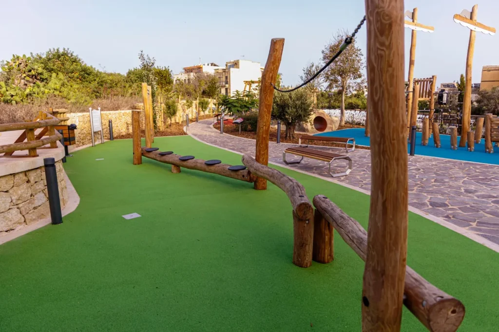
The village's playing field and learning garden, just down the road from Cloud 9: an easy outing with younger children.
About 5 min on footMap for Għajnsielem playing field (opens Google Maps)↗
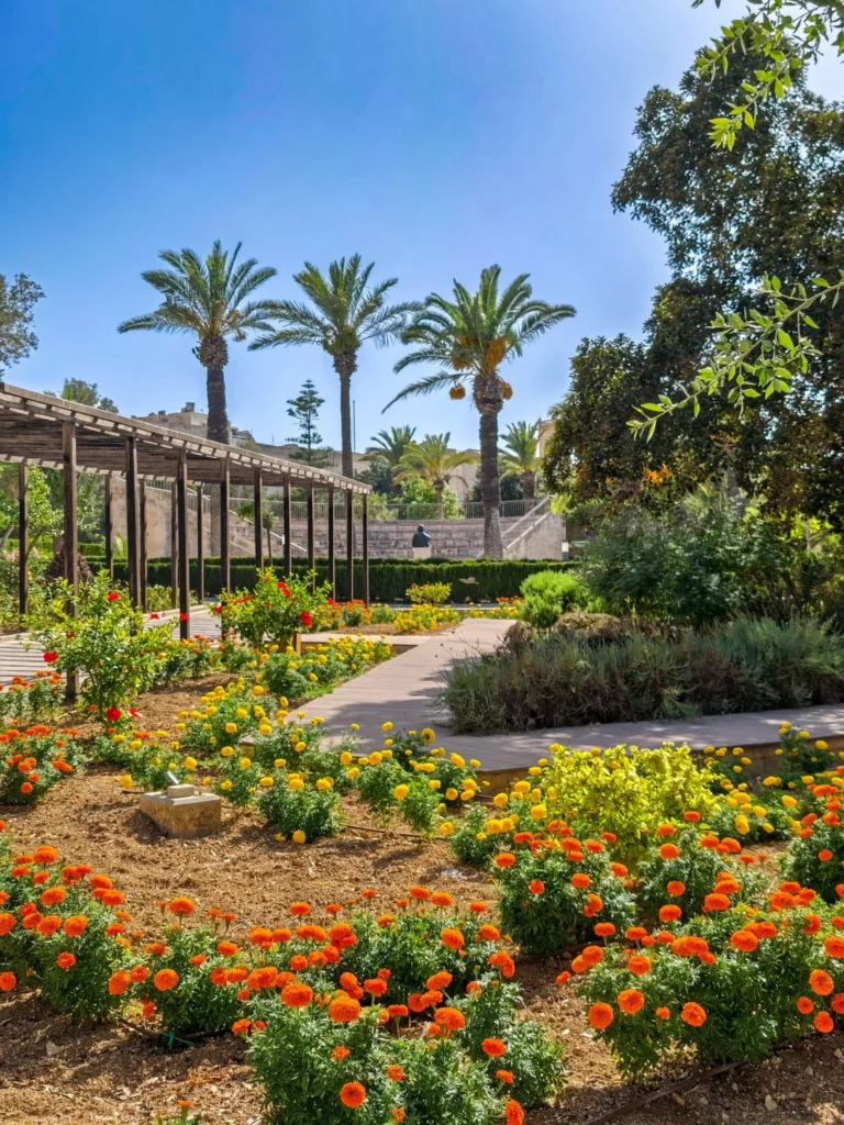
Shady public gardens in the centre of Victoria with a children's play area: a good break between sights.
Approx. 15 minMap for Villa Rundle Gardens (opens Google Maps)↗
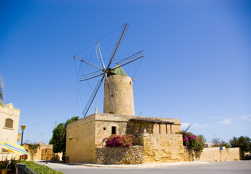
An 18th-century windmill with its milling machinery intact and the miller's rooms upstairs to explore.
Approx. 10–15 minMap for Ta' Kola Windmill (opens Google Maps)↗
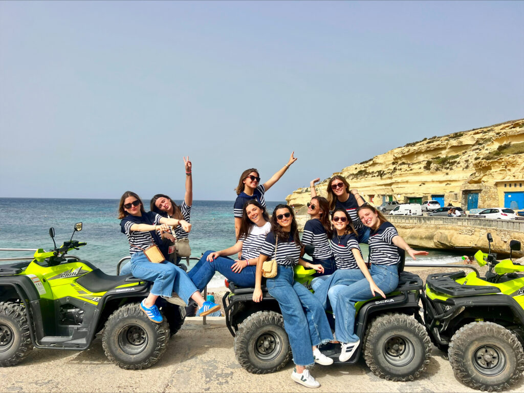
A guided way to see a lot of the island, including back roads, without driving yourself.
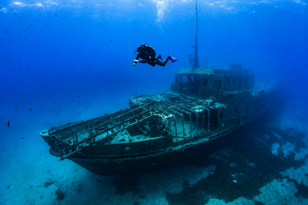
Shore and boat dives with caves, tunnels, reefs, walls and wrecks.
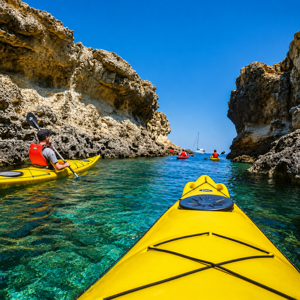
Guided trips into caves, coves and along limestone cliffs around Gozo and Comino.
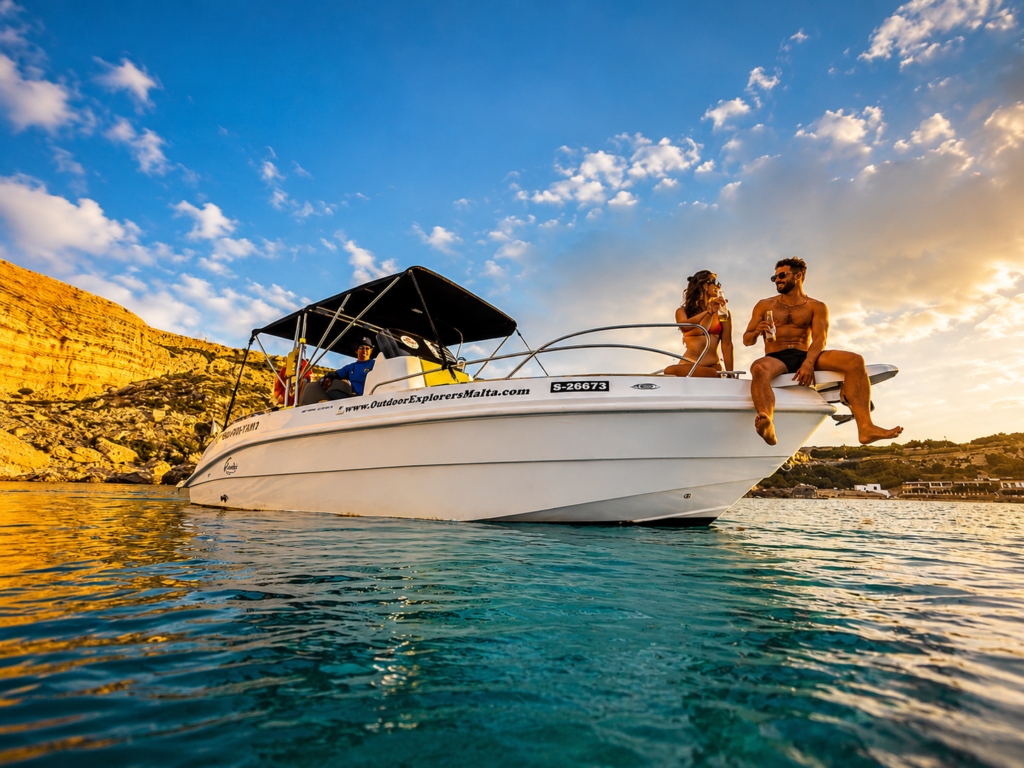
Short trips through sea caves and longer coastline tours with swimming stops and Comino.
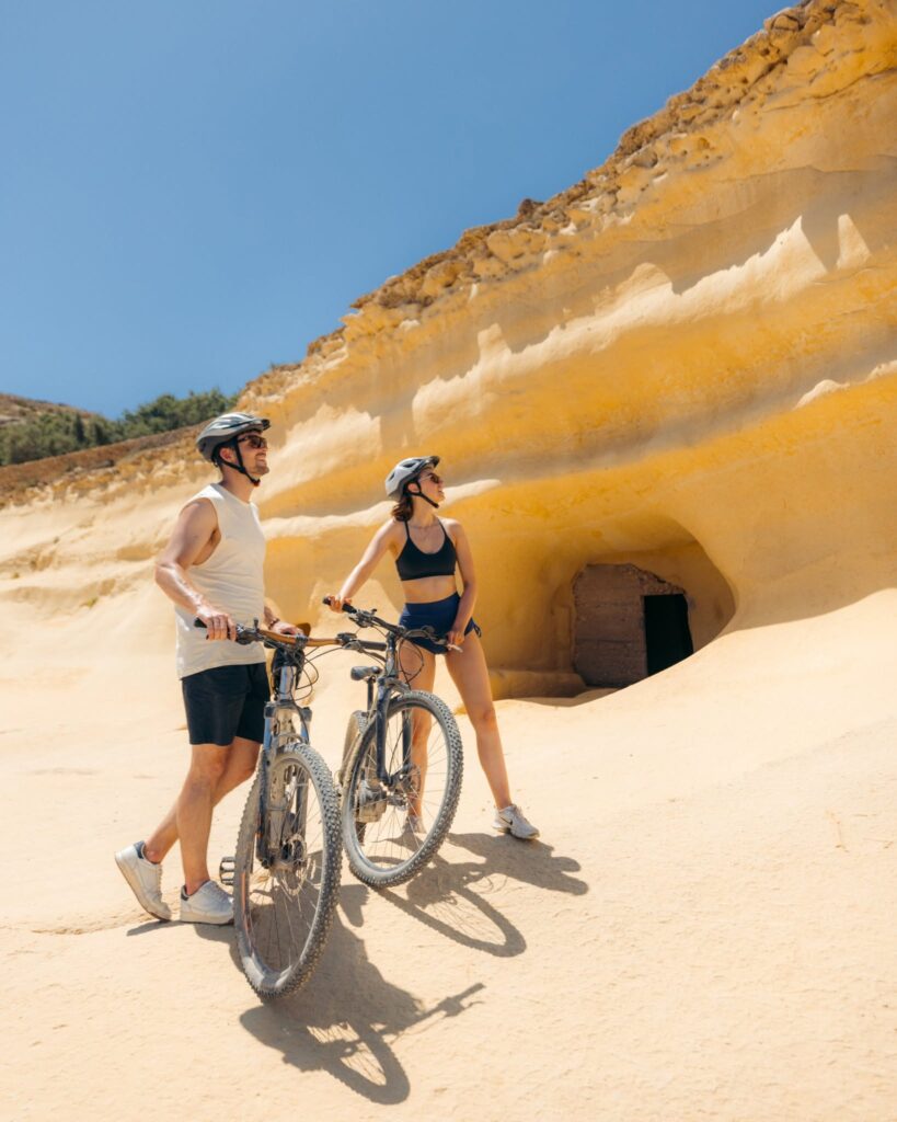
An e-bike covers a surprising amount of the island and makes Gozo's hills much easier.
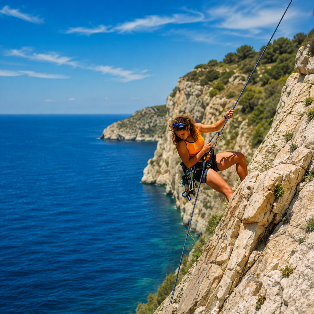
Sea cliffs and inland crags, with guided options for beginners and experienced climbers.
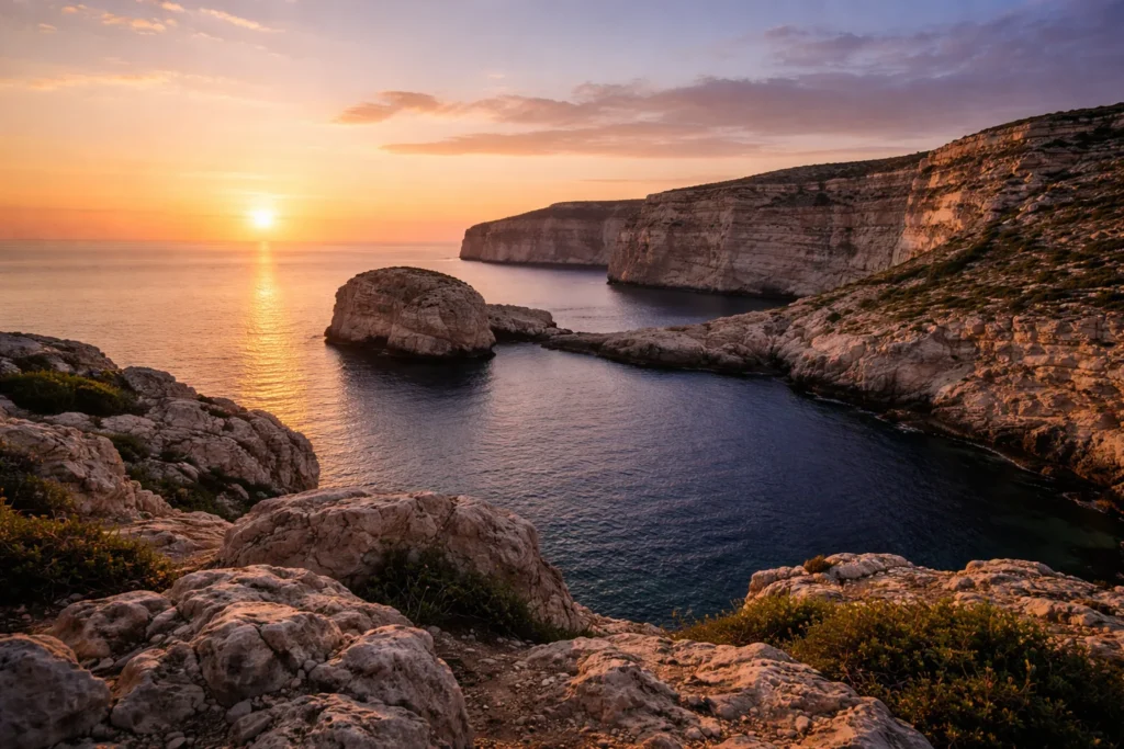
Cliffs, Fungus Rock and the Inland Sea on Gozo's western edge: the island's classic place to watch the sun go down.
Approx. 25 minMap for Dwejra (opens Google Maps)↗
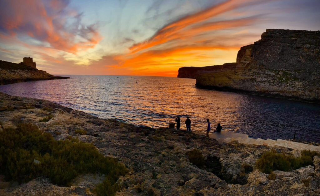
Watch the light fade over the mouth of the bay, then walk a few steps to dinner on the waterfront.
Approx. 15–20 minMap for Xlendi Bay (opens Google Maps)↗
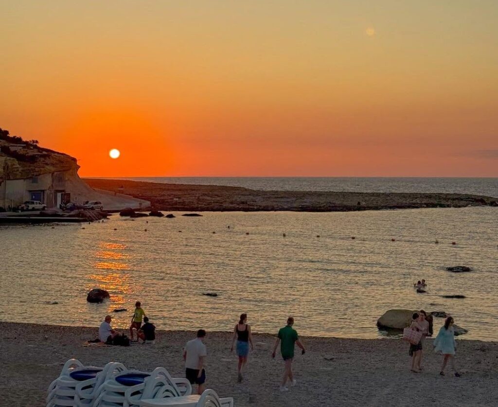
Low evening light across the rock-cut salt pans and the open north coast.
Approx. 20 minMap for Xwejni (opens Google Maps)↗
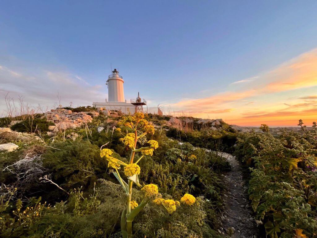
From the hill below Għasri's lighthouse the view runs across the island to the sea. Bring a layer; it can be breezy.
Approx. 20 minMap for Ta' Ġordan Lighthouse (opens Google Maps)↗
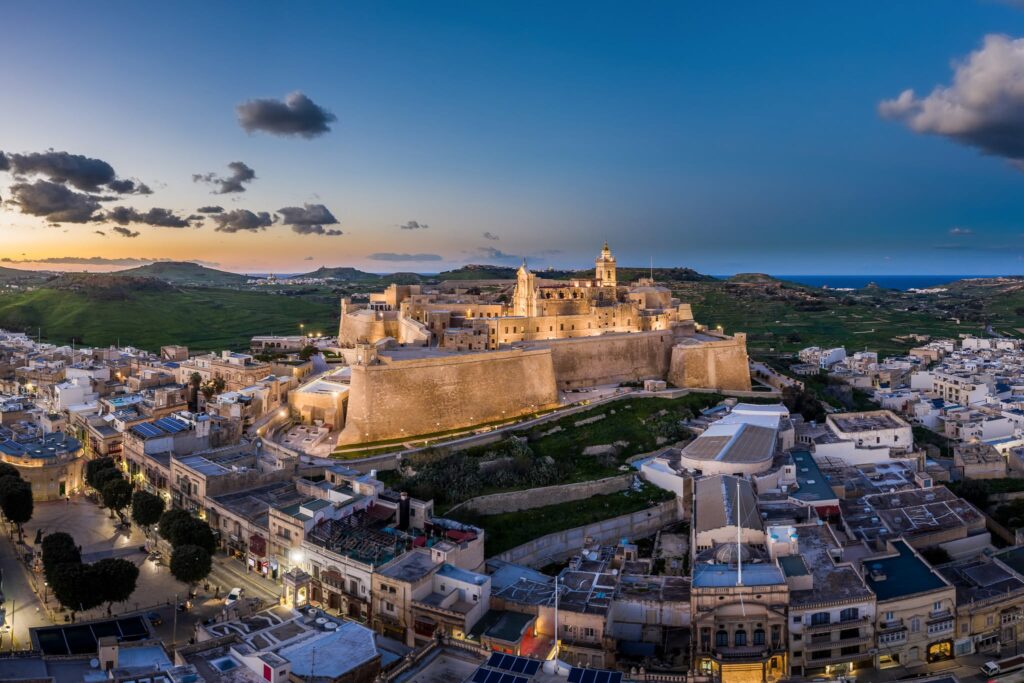
The easiest island day trip from Cloud 9: boats leave from Mġarr Harbour, just below the village. The Blue Lagoon is the headline, but you can also walk to Santa Marija Bay or take a boat past the sea caves when the sea allows.
Try once: a Blue Lagoon pineapple drink, served in a hollowed-out pineapple. Touristy, but part of the day.
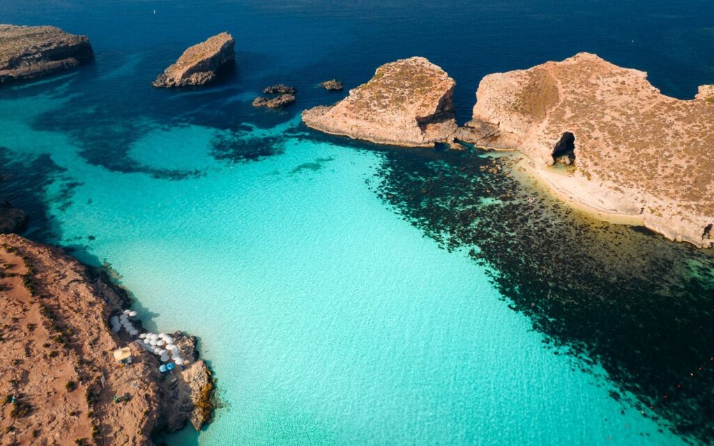
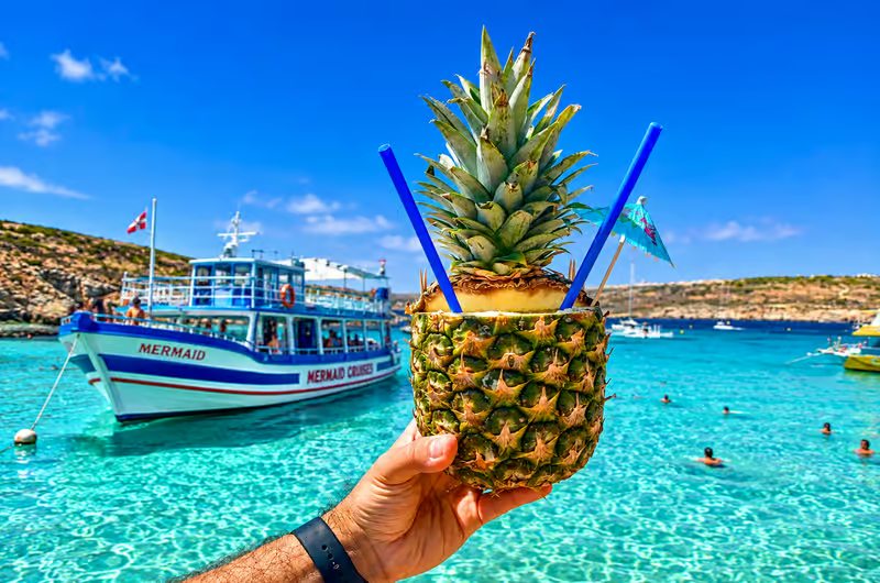
Small ferries run from Mġarr Harbour to the Blue Lagoon, typically 15–20 minutes, through the day in season.
Online or at the Mġarr standGoing ashore needs a free timed booking: 08:00–13:00, 13:30–17:30 or 18:00–22:00. Some ferry tickets include it.
How the booking works ↗Swimwear, towel, sunscreen, hat, water and water shoes. Shade is limited away from the kiosks.
Pack light; you arrive by boatThree to four hours is enough for a swim and a short walk without a long wait for the boat back.
Early or late is calmerRules can change. The booking system was introduced by the Malta Tourism Authority in 2025. Check current slots and your ferry operator's terms shortly before you go, especially in summer.
Live conditions, what's happening today and the next village festas.
Summer evenings
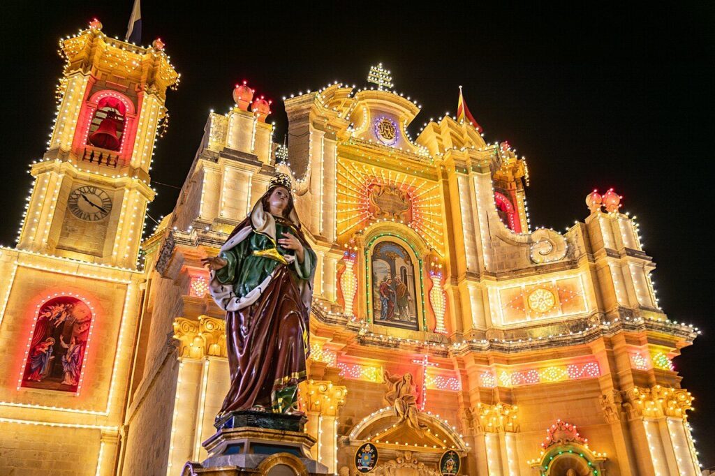
From late May to mid-September, Gozo's parishes take turns to celebrate their patron saint: streets hung with banners and lights, brass bands, a procession and fireworks over the rooftops.
Go in the evening and expect road closures near the celebrating village. Our own village, Għajnsielem, celebrates Our Lady of Loreto at the end of August.
If you hear fireworks, follow them.

Every route ends at Mġarr Harbour, a few minutes from the house.
Malta International Airport is on the main island; Gozo has no airport.
Malta International Airport ↗The X1 express bus runs from the airport to Ċirkewwa (around 1 h 15 min), or take a taxi or transfer. Without a car, the fast ferry from Valletta is an alternative.
Malta Public Transport ↗About 25 minutes from Ċirkewwa, or about 45 minutes on the fast ferry from Valletta.
Cloud 9 is a few minutes up the hill in Għajnsielem. Confirmed guests receive arrival details before their stay.
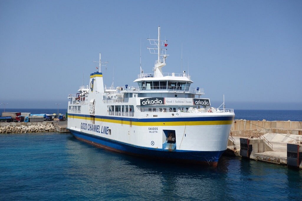
Car and passenger ferry · Ċirkewwa to Mġarr
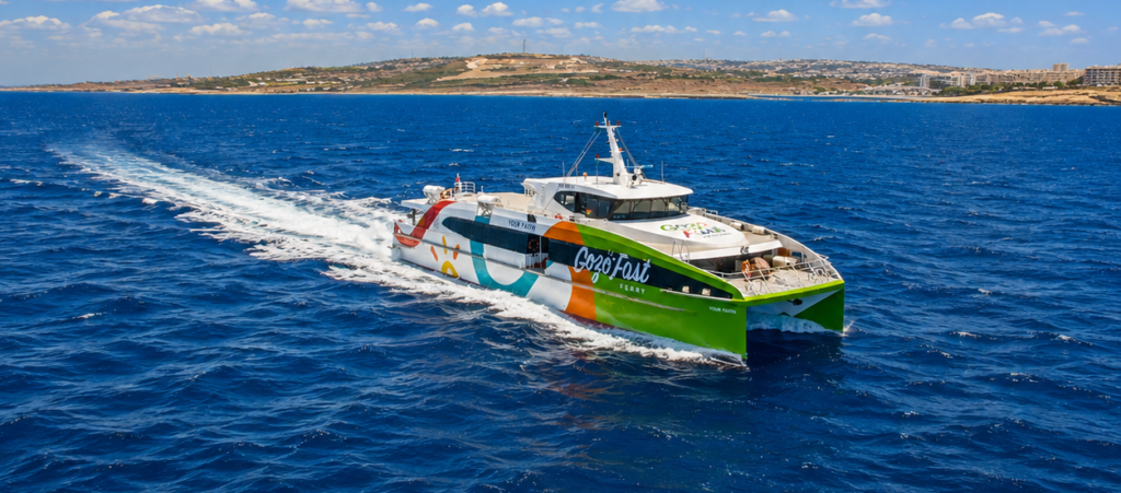
Passenger-only fast ferry · Valletta to Mġarr
A car gives the most freedom, but buses and ride apps cover a lot, with Victoria as the hub.
The essentials, before you need them.
If one coast is rough, a bay on the other side is often calm.
If a direct bus doesn't work, changing in Victoria often does.
Much of the coast is exposed, with little shade.
Expect closed roads and less parking, and maybe the best night of your stay.